01
Signup up for free account
02
Create an asset
Review your options, and select the quote that’s right for your project and Accept Quote
03
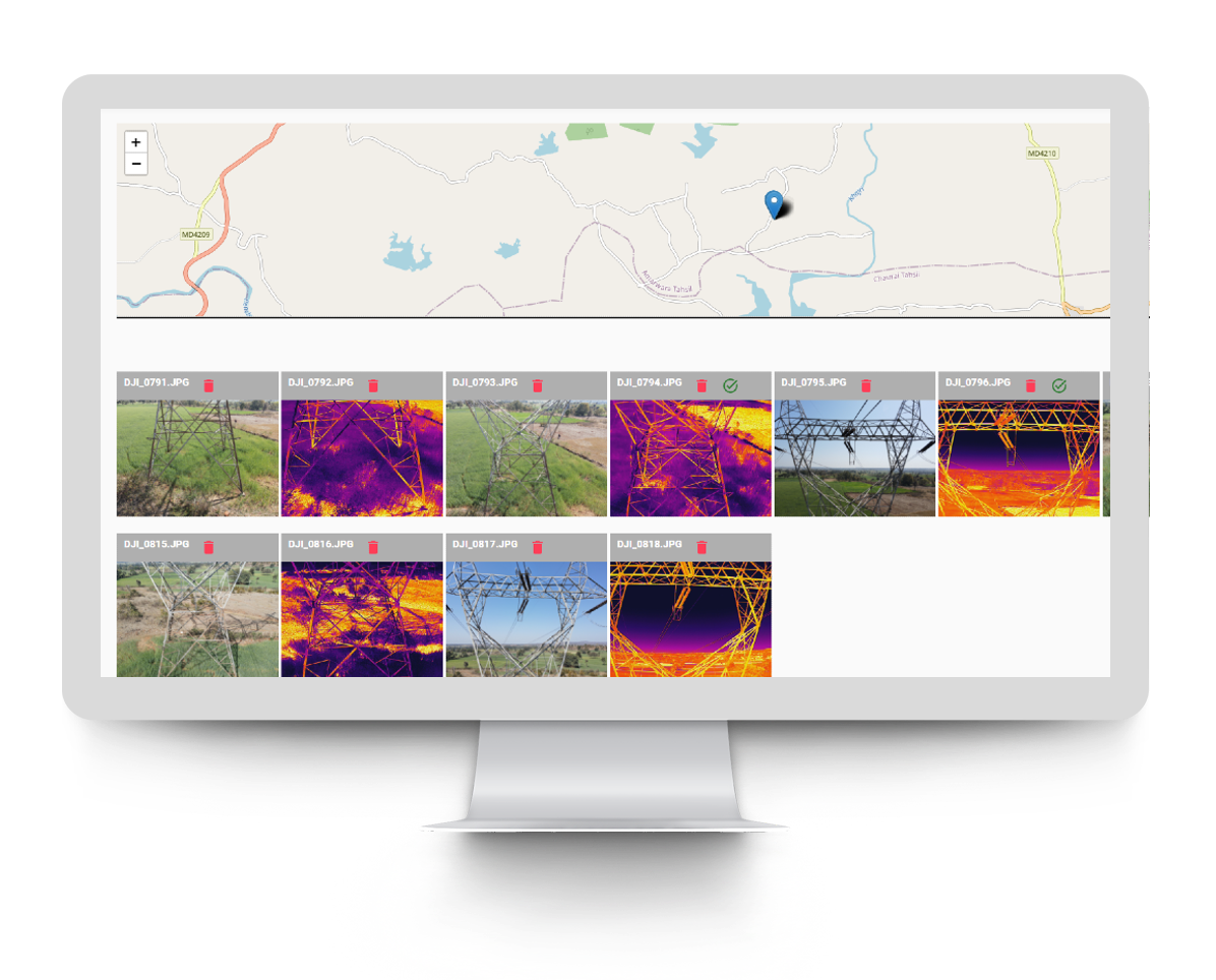
Upload inspection photos to the asset
Process the payment, and the project is accepted by mapthis.site
04
Analyse each photos and put observations
Share your files with us with any of the options Dropbox/Google Drive/ One Drive or even send your hard drive
05
Generate PDF report
If the MAPTHIS.SITE Data Team identifies an error, we reach out to you immediately to ensure that you only receive the highest quality data.
06
Client action choices
- Share the output with the client
- Send report to the Client
07
For more storage or features
-
PRO PLAN
-
FREE
per Image - Generate Reports
- Image Analysis Tool
- 1 User
-
TEAM PLAN
-
Contact Us
per Image - Generate Reports
- Image Analysis Tool
- Collaboration between teams
- Access Control
- Upto 10 Users
-
ENTERPRISE PLAN
-
Contact Us
per Image - Generate Reports
- Image Analysis Tool
- Collaboration between teams
- Access Control
- ERP Integration
- Custom Integrations
- White label
- 10+ Users

