01
REQUEST A DEMO ACCOUNT
Upload a Google Earth File (KML/KMZ) with a polygon outlining your area of interest , select the deliverables you want, and we will send you a firm quote the same day. No risk. No obligation.
02
Attend onboarding Zoom call wherein we will demo the system and create users
Review your options, and select the quote that’s right for your project and Accept Quote
03
Upload an output such as Orthophoto or a DEMO
Process the payment, and the project is accepted by mapthis.site
04
Wait for it to get processed by the system
Share your files with us with any of the options Dropbox/Google Drive/ One Drive or even send your hard drive
05
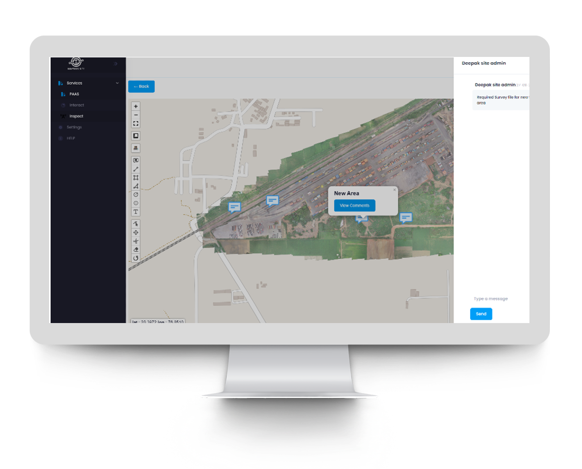
Annotate, measure, comment directly on the output file
If the MAPTHIS.SITE Data Team identifies an error, we reach out to you immediately to ensure that you only receive the highest quality data.
06
Demo account ends in 15 days
Mapthis.site has developed a proprietary workflow to process data in the most accurate way possible. The key to our workflow is our trained professionals involved at every step.
07
Request a custom quote
Mapthis.si te can deliver your basic photogrammetry deliverables (Orthophoto, DSM, and a Point Cloud)


