01
REQUEST A QUOTE
Upload a Google Earth File (KML/KMZ) with a polygon outlining your area of interest , select the deliverables you want, and we will send you a firm quote the same day. No risk. No obligation.
02
ACCEPT THE QUOTE
Review your options, and select the quote that’s right for your project and Accept Quote
03
PRE-AUTHORIZE CHARGES
Process the payment, and the project is accepted by mapthis.site
04
ADD YOUR FILES
Share your files with us with any of the options Dropbox/Google Drive/ One Drive or even send your hard drive
05
IDENTIFIES AN ERROR
If the MAPTHIS.SITE Data Team identifies an error, we reach out to you immediately to ensure that you only receive the highest quality data.
06
PROCESS DATA
Mapthis.site has developed a proprietary workflow to process data in the most accurate way possible. The key to our workflow is our trained professionals involved at every step.
07
DATA OUTPUTS
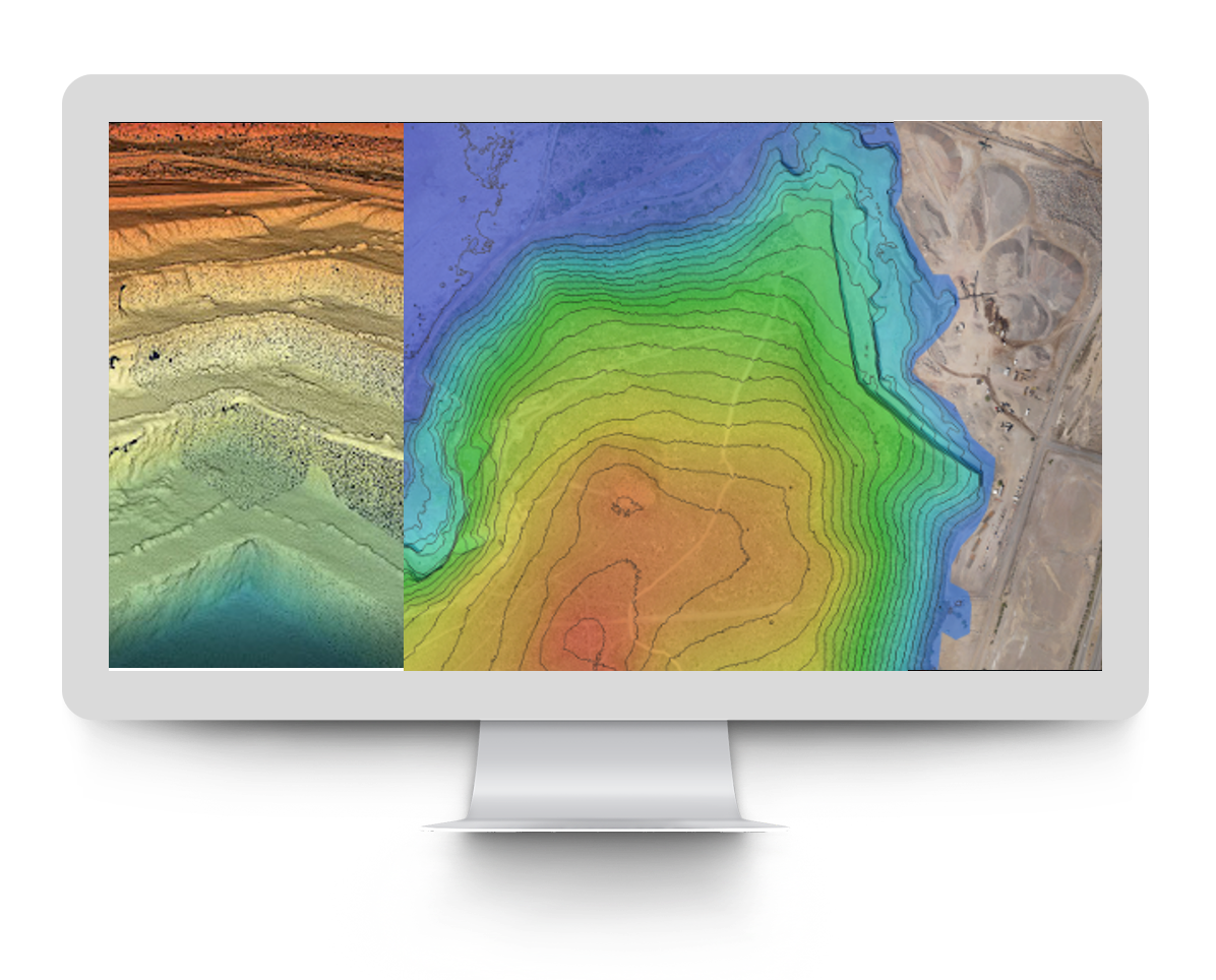
Mapthis.si te can deliver your basic photogrammetry deliverables (Orthophoto, DSM, and a Point Cloud)
-
STARTUP
-
INR 2.50
per Image - 0 to 1,000 images per map
- 24 hr delivery
- Outputs - DEM, Ortho, Point Cloud
- Automated DTM*
- GST Extra (As Applicable)
-
ENTERPRISE
-
Contact Us
per Image - 1,000+ images per map
- 24 hr delivery
- Outputs - DEM, Ortho, Point Cloud
- Automated DTM
- GST Extra (As Applicable)
 Read more +15 November 2022 in Process
